
Telangana to launch statewide land resurvey in 2,240 villages from next month
Hyderabad: The Telangana government will launch a statewide Telangana land resurvey programme next month as part of its efforts to eliminate land disputes and create a transparent land records system.
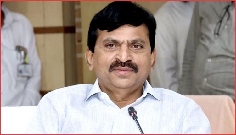
Revenue Minister Ponguleti Srinivasa Reddy announced the decision during a teleconference with revenue officials. He said the government, under the leadership of Chief Minister A. Revanth Reddy, aims to build a Telangana free from land-related disputes.
The Minister stated that the state has 10,954 revenue villages. In the first phase, officials will take up the Telangana land resurvey in 2,240 villages across 32 districts, excluding Hyderabad. Authorities will select 70 villages from each district for the initial exercise.
He directed officials to complete all preparations on a war footing before the launch.
Telangana land resurvey targets long-pending disputes
Ponguleti Srinivasa Reddy said land is not merely an asset for farmers but their primary source of livelihood. Therefore, the government intends to provide clear boundaries for every parcel of land, establish ownership records for every survey number and offer greater certainty to farmers.
The Minister noted that many regions still depend on survey records prepared during the Nizam era in 1936. However, land divisions, urbanisation and administrative changes have created confusion regarding original boundaries.
As a result, the government decided to conduct a comprehensive resurvey to provide a permanent solution to ownership and boundary disputes.
Officials identified 378 villages that lack proper survey maps dating back to the Nizam period. Moreover, the government has already completed resurveys in five such villages and assigned Bhudhar numbers. Survey work continues in the remaining 373 villages using advanced technologies.
Telangana land resurvey to use advanced technology
The Minister said the government will replace traditional survey methods involving chains, measuring tapes and cross-staff equipment. Instead, officials will use modern technologies such as DGPS, Rovers, GIS and QGIS for scientific and accurate surveys.
The government has already procured 411 Rover devices and plans to purchase another 400 units soon. Furthermore, officials will assign a unique Bhudhar number to every survey number after completing the resurvey process.
Ponguleti Srinivasa Reddy said the government will issue Bhudhar cards similar to Aadhaar cards for land parcels. Authorities will upload survey data collected through DGPS into QGIS software and integrate it with the Bhu Bharati portal.
He noted that survey numbers in Telangana increased from around 40 lakh in 1948 to nearly 2.29 crore at present. Consequently, the government has prepared a phased plan to assign Bhudhar numbers across the state.
Telangana land resurvey backed by trained workforce
To ensure effective implementation, the government trained and licensed 5,520 surveyors. Officials have deployed between four and six surveyors in each mandal based on land extent and survey requirements.
In addition, the Revenue Department divided villages into clusters and established a dedicated monitoring system. The Minister said the resurvey will create accurate maps and clearly defined boundaries for every landholding. Consequently, ownership disputes are expected to decline significantly.
He added that the Bhu Bharati Act already mandates survey maps for agricultural land registrations. Therefore, the resurvey programme will make land registration and mutation processes faster, more transparent and more reliable.