

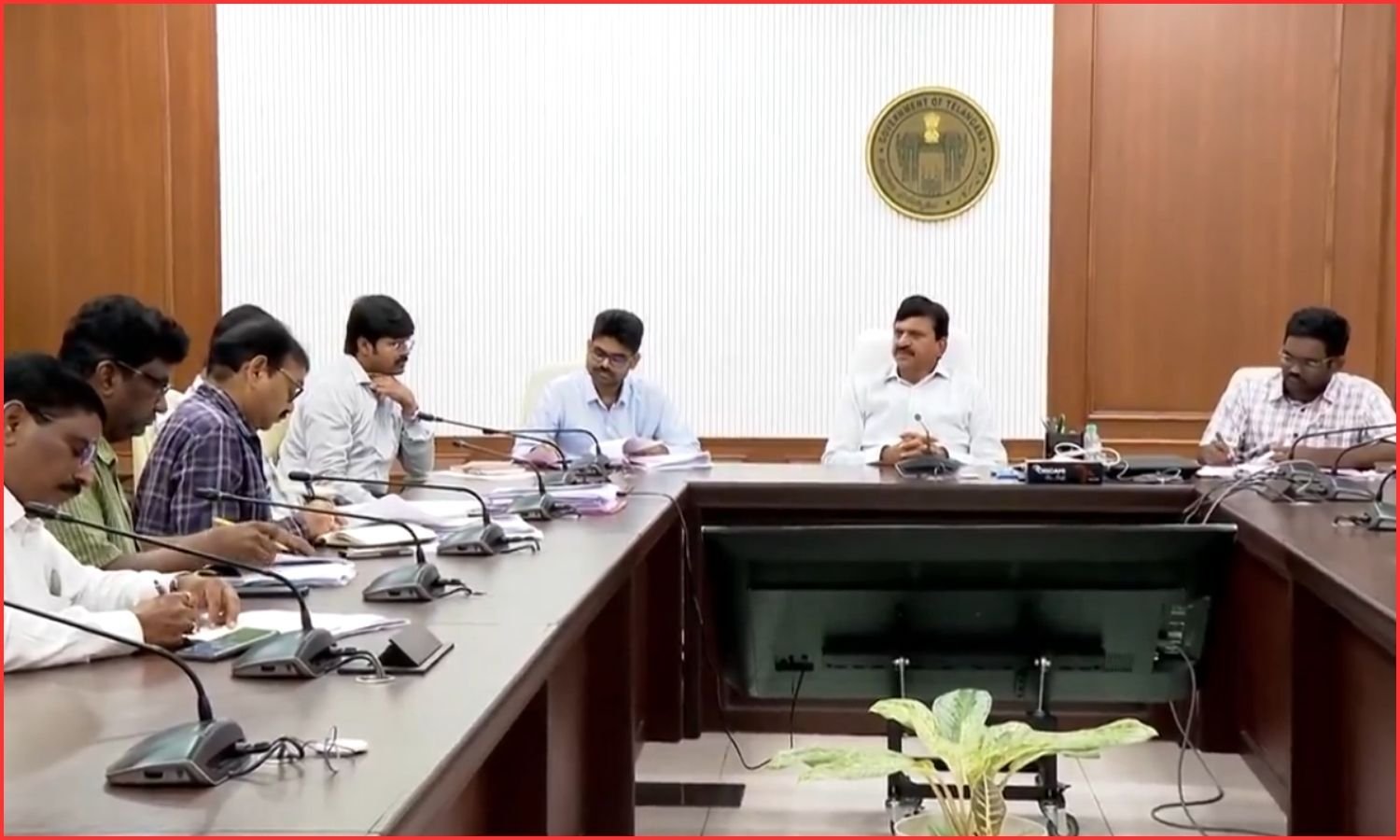
Hyderabad: Telangana Revenue, Housing and Information & Public Relations Minister Ponguleti Srinivasa Reddy directed officials to complete the land re-survey within the prescribed deadline.
He said the programme would help build a Telangana free of land disputes. It would also provide clear boundaries for every land parcel. Each survey number would receive a unique identification.
The Minister reviewed the progress of the land re-survey at the Secretariat on Tuesday. Meanwhile, he discussed public response, implementation challenges and corrective measures with Revenue and Survey Department officials.
Ponguleti Srinivasa Reddy said the first phase covered 2,240 villages across the State. Each district has selected 70 villages. Accordingly, he instructed officials to hold gram sabhas in every village. He asked them to explain the programme’s benefits to farmers and landowners.
The Minister said public participation was essential. Therefore, officials should remain available in every survey village. They should immediately clarify doubts raised by residents. He also instructed them to maintain transparency while fixing land boundaries. People should be involved at every stage.
Land re-survey to resolve long-pending disputes
The Minister directed district collectors to personally monitor the land re-survey. They should review progress every week. In addition, Revenue and Survey officials must work in close coordination. They should immediately report any issues to the government.
Ponguleti Srinivasa Reddy said land was more than an asset for farmers. It was their family’s livelihood. Furthermore, he said the government had adopted DGPS, rovers and GIS technology for the survey. The scientific process would establish accurate boundaries for every landholding. It would also help resolve decades-old land disputes.
After the exercise, every survey number will receive a unique Bhudhar number. The details will be recorded in the Bhu Bharati portal. As a result, land ownership records will become clearer. Registrations and mutations will also become faster and more transparent.
The Minister asked officials to treat the programme as a public responsibility. Finally, he directed them to speed up work in 373 villages without survey maps. Officials should issue advance notices to pattadars. They should mark government lands before starting the survey. Village boundaries must also be finalised first. He said every decision should prioritise public convenience and satisfaction.