
Survey of lands around KCR’s Erravelli farmhouse continues for second day

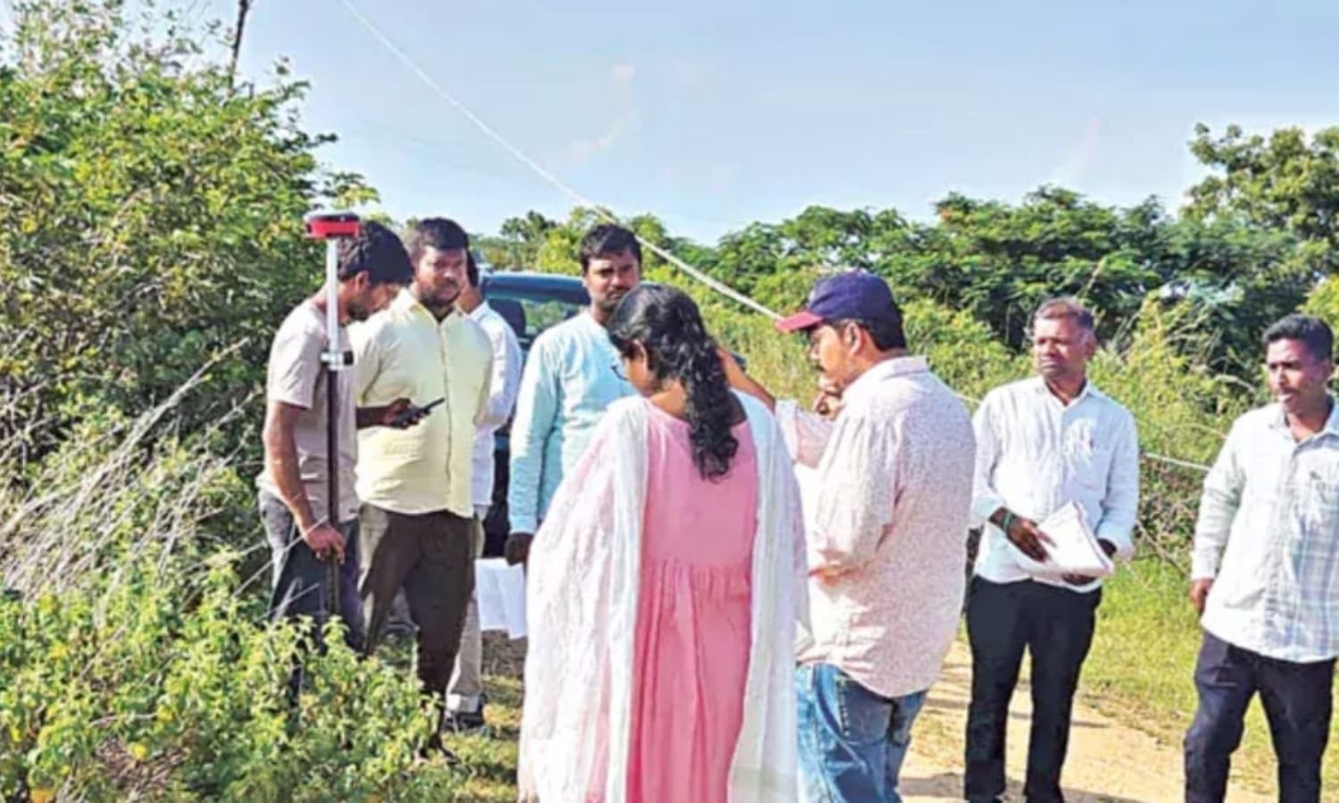
Hyderabad: Revenue officials continued the Erravelli land survey around former Chief Minister K. Chandrashekar Rao’s farmhouse for the second day on Friday. The survey was being conducted in Erravelli village of Siddipet district.
Officials were inspecting 388 acres under Survey No. 325 to verify the exact extent of government land in the area. Along with the ground inspection, a satellite survey was being used to map the boundaries accurately.
Markook mandal revenue officials were compiling a detailed report on the land parcels. The report was to include various survey numbers and records of farmers who had previously owned the lands.
On the first day, officials identified and marked boundary lines covering lands in Erravelli, Venkatapur and Varadarajpur villages. The exercise formed part of the ongoing verification of land boundaries in the area.
Erravelli land survey uses satellite mapping
The ongoing survey was combining physical verification with satellite-based mapping to establish the boundaries of the surveyed land. Officials were also reviewing survey numbers and earlier ownership records as part of the exercise.
The survey covered the 388-acre area under Survey No. 325, with officials examining the extent of government land. The findings were being compiled into a comprehensive report by the Markook mandal revenue authorities.