

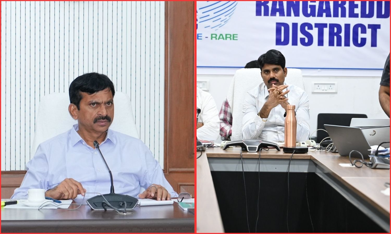
Hyderabad: Revenue and Housing Minister Ponguleti Srinivas Reddy on Wednesday directed officials to accelerate the Telangana land resurvey programme and complete it within prescribed deadlines. He stressed transparency, accuracy and the resolution of land disputes during the exercise.
The Minister said survey operations had begun in 1,000 villages across Telangana, while officials had completed the process in 416 villages. Chairing a statewide review through video conference from Hyderabad, he instructed district authorities to strengthen field-level coordination and address technical and administrative difficulties.
He also directed officials to prevent obstacles to the construction of houses sanctioned under the Indiramma housing scheme. Ponguleti Srinivas Reddy said the comprehensive land resurvey was a major initiative undertaken after a long gap.
He described the exercise as essential for resolving longstanding land disputes and establishing accurate boundaries for individual holdings. The Minister said Telangana had 10,954 revenue villages.
According to the figures presented during the review, the first phase covered 2,720 villages across 32 districts, excluding Hyderabad. He also referred to an allocation of 70 villages per district for the initial phase.
So far, officials had started survey operations in 1,000 villages and completed work in 416 villages. The Minister directed district collectors to accelerate operations in the remaining villages and achieve the assigned targets.
He said every landowner should receive clear information about ownership rights, land extent and boundaries. Additionally, he emphasised that the resurvey should address disputes that had continued across generations.
Officials told to verify old revenue records
Ponguleti instructed survey teams to examine historical revenue documents before conducting field measurements. These included Pahani records, Sethwar documents, Tippan records, Field Measurement Books and village maps.
Officials must also verify survey numbers, subdivision details and the recorded extent of individual landholdings. He directed teams to compare documentary records with actual conditions on the ground.
Where discrepancies emerged, officials must examine supporting documents before finalising survey findings. The Minister particularly stressed identifying differences in land boundaries, survey subdivisions and recorded areas.
He warned against errors that could create further ownership disputes. Furthermore, he instructed officials to examine every relevant document carefully and maintain accuracy throughout the process.
The Telangana land resurvey programme should establish reliable records rather than merely complete land measurements, he said. The Minister directed officials to make full use of modern surveying technology.
He specifically identified Differential Global Positioning System equipment, survey rovers and Geographic Information Systems as essential tools. Officials must also use QGIS technology to identify and map land boundaries accurately.
According to Ponguleti, technological systems should support precise measurements and reduce discrepancies between physical boundaries and official records. He instructed survey departments to digitally record and securely preserve the information collected during field operations.
These records must contain land extent, boundary details, survey numbers and other relevant information. The Minister also stressed proper entry of survey findings into the designated digital systems.
He directed officials to ensure that technical equipment, training and supporting facilities were available to field personnel. Moreover, district authorities must identify equipment-related and operational difficulties immediately and arrange appropriate solutions.
Landowners must receive notices and opportunities to object
Ponguleti identified the issuance of notices to landowners as a critical component of the Telangana land resurvey programme. He directed officials to issue notices according to prescribed procedures after completing surveys.
The notices must allow landowners to examine their recorded land extent, boundaries, survey numbers and other particulars. Officials must ensure that notices reach the concerned owners and maintain records of their delivery.
The Minister said landowners should receive adequate opportunities to submit objections and suggestions within the prescribed period. He instructed revenue authorities to register every objection concerning ownership, land extent or boundaries.
The records must include applicant details, relevant survey numbers, supporting documents and the nature of each complaint. Officials must then conduct field inquiries into the objections.
Where necessary, they should consult historical revenue records, survey maps and other land documents. The Minister directed authorities to hear the affected landowners before taking decisions according to applicable rules.
He also warned against ignoring objections raised by farmers and other landowners. The Minister instructed officials to explain the available appeal procedures to landowners who disagreed with survey findings.
Competent authorities must receive appeals, conduct inquiries and decide cases based on the available evidence. He called for special attention to unresolved objections and pending appeals.
Furthermore, officials must maintain separate records of resolved and pending applications. Every application should receive a decision within the prescribed timeframe, he said.
Ponguleti directed revenue officials to ensure that administrative delays did not undermine the Telangana land resurvey programme. He also emphasised coordination between district collectors, additional collectors, revenue divisional officers and survey department officials.
The Minister said the exercise required continuous monitoring at village and district levels. Ponguleti instructed officials to conduct awareness programmes for farmers, landowners and village residents.
These programmes should explain the purpose of the resurvey, measurement procedures and methods used to identify boundaries. Officials must also provide information about notices, objections and appeal procedures.
He suggested conducting village meetings and farmer interactions with the participation of elected representatives. Additionally, authorities should distribute pamphlets, make public announcements and use other communication channels to reach residents.
The Minister said awareness activities should explain how accurate boundaries could help prevent future land disputes. Residents must also understand the importance of digital land records.
He instructed officials to address misconceptions and clarify doubts about the survey process.
Every landowner should have an opportunity to participate and understand the findings concerning their property. The Telangana land resurvey programme should proceed with public participation and transparency, he said.
Bhudhar numbers to be linked with Bhu Bharati portal
The Minister directed authorities to accelerate the assignment of Bhudhar numbers in villages where resurvey operations had concluded. Each land parcel should receive a unique identification number under the proposed process.
Officials must accurately record the parcel’s boundaries, extent and related revenue particulars. He also instructed departments to integrate these details with the Bhu Bharati portal.
The Telangana land resurvey programme should make reliable land information available in digital form. According to the Minister, the records should reduce difficulties during future property transactions.
He specifically referred to land purchases, sales, registrations and mutations. He directed officials to maintain comprehensive digital records to minimise disputes arising from incomplete or inaccurate information.
Ponguleti instructed district collectors to regularly review the progress of the Telangana land resurvey programme in their jurisdictions. Additional collectors handling revenue matters must coordinate with revenue divisional officers, sub-collectors and survey department assistant directors.
The Minister called for village-wise monitoring of survey commencement, completion and subsequent administrative processes. Officials must track the issuance of notices, receipt of objections, disposal of appeals and conduct of awareness programmes.
He also directed senior officers to address problems reported by survey personnel working in the field. Necessary technical resources, training and other facilities must remain available throughout the exercise.
The Minister said a land resurvey was not merely a programme for measuring property. Instead, he described it as an important measure intended to strengthen ownership security and prevent future land disputes.
He instructed officials to work responsibly and coordinate across departments to meet the government’s targets. During the same review, Ponguleti Srinivas Reddy also examined issues affecting the Indiramma housing scheme.
He directed officials to prevent unnecessary objections or disturbances concerning plots allotted to eligible poor families. The Minister warned against actions that could create difficulties for beneficiaries or obstruct construction at allotted sites.
He instructed revenue authorities to verify records relating to Indiramma housing plots during the land resurvey. Any disputes or objections involving these plots must receive examination and resolution under the applicable rules.
Furthermore, he directed the Revenue and Housing departments to maintain close coordination. Officials must ensure that beneficiaries could continue construction on their allotted plots without unnecessary obstacles.
He stressed that eligible beneficiaries should not face difficulties while accessing government welfare schemes. The Minister also instructed district authorities to pay particular attention to the smooth implementation of housing projects.
He said protecting beneficiaries from avoidable administrative and land-related problems was an important responsibility of government officials. The video conference included district collectors, additional collectors, revenue divisional officers and officials from Survey and Land Records departments.
Senior officials also reviewed field-level problems, technical requirements and farmers’ responses to the ongoing resurvey. Ranga Reddy District Collector C. Narayana Reddy participated in the meeting.
Additional Collector (Revenue) K. Chandra Reddy, revenue divisional officers and officials from the departments concerned also attended. The review covered survey targets, document verification, public objections, digital records and protection of land allotted under the Indiramma housing scheme.