
Hyderabad: Telangana flood zoning agency will be set up to map vulnerable river stretches ahead of the monsoon, Irrigation Minister N. Uttam Kumar Reddy announced on Wednesday. The government will prioritise flood-prone areas across major river systems as part of this initiative.
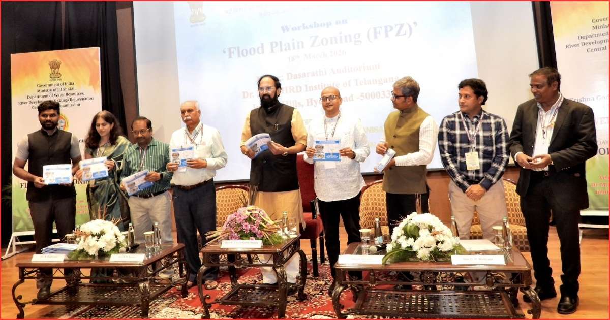
The Minister outlined the plan during a workshop on Flood Plain Zoning for Telangana and Andhra Pradesh. The Krishna and Godavari Basin Organisation under the Ministry of Jal Shakti organised the event at MCHRD. At the meeting, he presented a roadmap to tackle recurring floods and limit the damage they cause in the state.
The plan places special focus on the Godavari at Bhadrachalam and the Munneru in Khammam. In addition, it covers other vulnerable sub-basins across Telangana. According to him, these regions face repeated flooding and therefore require targeted intervention.
Telangana flood zoning agency targets high-risk flood zones
Uttam Kumar Reddy recalled the September 2024 floods and detailed their impact. The disaster caused losses of about Rs.5,438 crore and affected 29 districts. It also damaged more than 1,000 km of roads and inundated 110 villages. Moreover, authorities recorded 29 deaths during the floods.
He said the Munneru reached a record level of 36 feet, which submerged entire colonies. As a result, such extreme events underscored the urgency of floodplain management.
The Minister stressed that human activities worsened flood risks. For instance, he pointed to encroachments on flood plains, blocked drainage systems and shrinking wetlands. He also referred to the Central Water Commission’s three-zone model of Protected, Regulatory and Warning Zones. Therefore, he said floodplain zoning remained essential for sustainable development.
Telangana flood zoning agency to integrate urban projects
Uttam Kumar Reddy cited repeated flooding along the Godavari at Bhadrachalam. In many cases, rising water levels cut off key road links in the area. He also noted extreme flood levels in rivers such as Maner and Majira in recent years.
Further, he said the Musi River Rejuvenation Project would adopt floodplain zoning norms. The project will restore river space and regulate development along its banks. In turn, he described it as a model for other urban centres.
The Minister also highlighted siltation in irrigation reservoirs as a key factor increasing flood intensity. Accordingly, he urged the Central Water Commission to prioritise desiltation efforts.
He said the Telangana flood zoning agency would strengthen preparedness through GIS-based mapping and improved forecasting systems. Additionally, authorities will conduct mock drills and enhance inter-agency coordination. He called for collaboration among policymakers, academia, industry and communities to reduce future flood risks.
Senior officials from the Central Water Commission, GRMB, KRMB and irrigation departments of both states attended the workshop. Meanwhile, academicians from leading institutions and industry representatives also participated in the discussions.